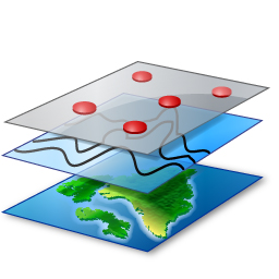
Theme 4 – GIS and Remote Sensing
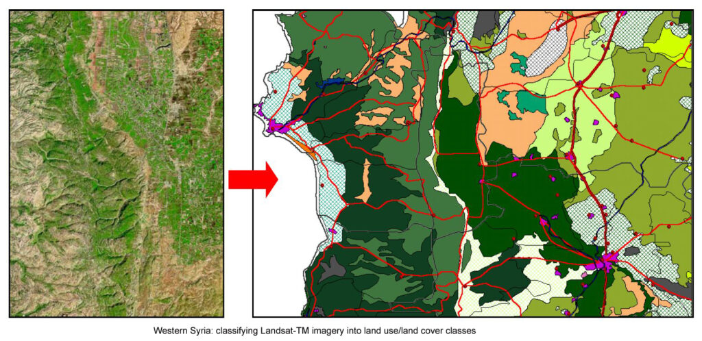
GIS (Geographic Information Systems) and remote sensing applications involve using spatial data and imagery from satellites, airplanes and drones to analyze and manage land and environmental resources. These tools are extremely valuable for integrating, processing and visualizing spatial data, supporting decision-making in areas like urban and rural planning, agriculture, and resource management. Remote sensing provides detailed, large-scale information on status and dynamics of land cover, vegetation health, and weather patterns. Together, these technologies enable effective monitoring, modeling, and sustainable management of landscapes.
Theme 4 is currently under construction