
3.1. The Flemish Ardennes
Shaped from below: the physical foundations of the Flemish Ardennes
The Flemish Ardennes may not reach alpine heights, but their rolling hills, steep slopes and varied soils give this region a distinct identity within Flanders. Much of its character is rooted in what lies beneath: a complex underground built up over millions of years.
This document explores how the geology and subsoil of the region have shaped its present-day landscape. It provides a detailed overview of the area’s geological structure, relief, soil types and land use patterns—offering both professionals and curious readers a deeper understanding of this unique part of Belgium.
📄 Please note: The text is currently only available in Dutch. It is based on a guide originally prepared as background material for a geological excursion organized with my former classmates in 2019. Since then, it has been substantially expanded and rewritten in a more explanatory style to make it accessible to readers without a geology background.
Een blik in de diepte: hoe de ondergrond vorm gaf aan de Vlaamse Ardennen
De Vlaamse Ardennen danken hun golvend reliëf, hun steile hellingen – beroemd en berucht dank zij de Ronde van Vlaanderen – en hun opvallende landschapsvariatie aan een ondergrond die verrassend complex is. Die onzichtbare wereld onder onze voeten—opgebouwd over tientallen miljoenen jaren—heeft een blijvende stempel gedrukt op het landschap zoals we het vandaag kennen.
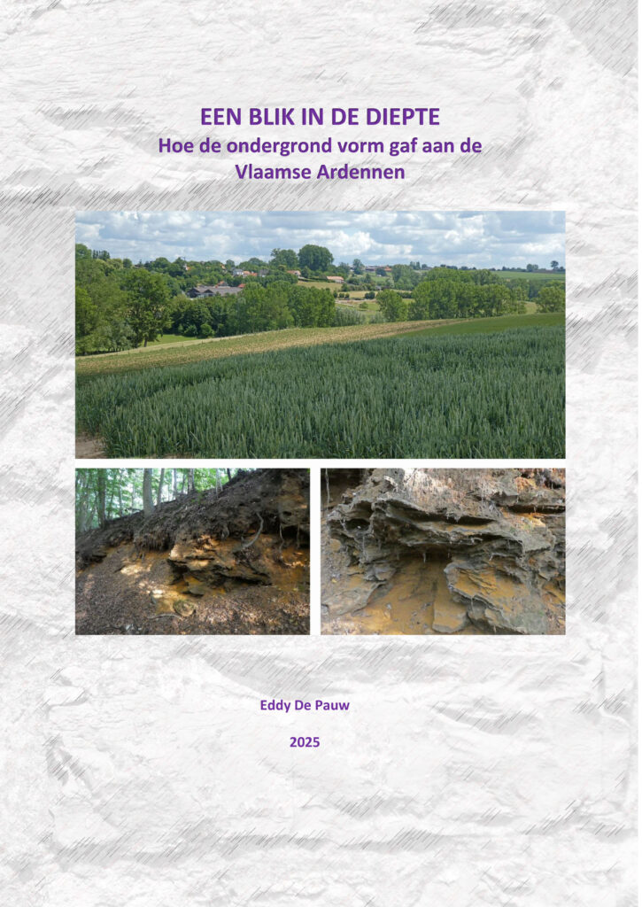
Met deze online gids verken je stap voor stap hoe geologische opbouw, reliëf en bodemtypes samen de fysische ruggengraat van deze streek vormen. De inhoud bouwt voort op een geologische excursie die in 2019 met klasgenoten werd georganiseerd en is bedoeld voor lezers met een wetenschappelijke basiskennis, maar zonder specifieke voorkennis van geologie.