Theme 3 – Land and soil resources: analysis, mapping and evaluation
Effective land management begins with a solid understanding of the land’s physical and socio-economic foundations. This theme focuses on integrated approaches to assess land and soil resources in a spatially explicit way. It highlights how different strands of analysis—ranging from resource inventory and soil mapping to suitability evaluation—contribute to informed decision-making for sustainable land use.
The three main tools used in this theme are land resource analysis, soil characterization and mapping, and land suitability assessment. By combining these perspectives, Theme 3 provides a framework to guide planning, optimize land potential, and address environmental challenges across diverse landscapes.
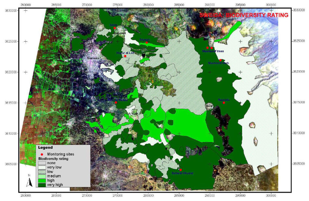
Land resource analysis takes a broad view of how land is used and managed by assessing key natural and socio-economic features. It examines land cover, vegetation, biodiversity, and water availability in relation to land use patterns, ownership structures, and human pressures. By understanding how these elements are distributed and interact across space, we gain valuable insights into the opportunities and constraints that shape land management. Such analyses support more effective conservation strategies, land use planning, and development policies.
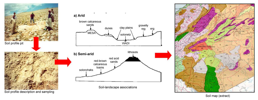
Soil characterization and mapping builds on this by focusing on the properties of the soil itself. Through systematic fieldwork and laboratory analysis, it provides essential information on physical, chemical, and biological soil traits. This data is then used to create detailed soil maps that reveal variations in soil quality and behavior across the landscape. These maps are indispensable tools for sustainable land use, helping to identify the best areas for agriculture, forestry, or conservation, while also flagging zones at risk of erosion or degradation.
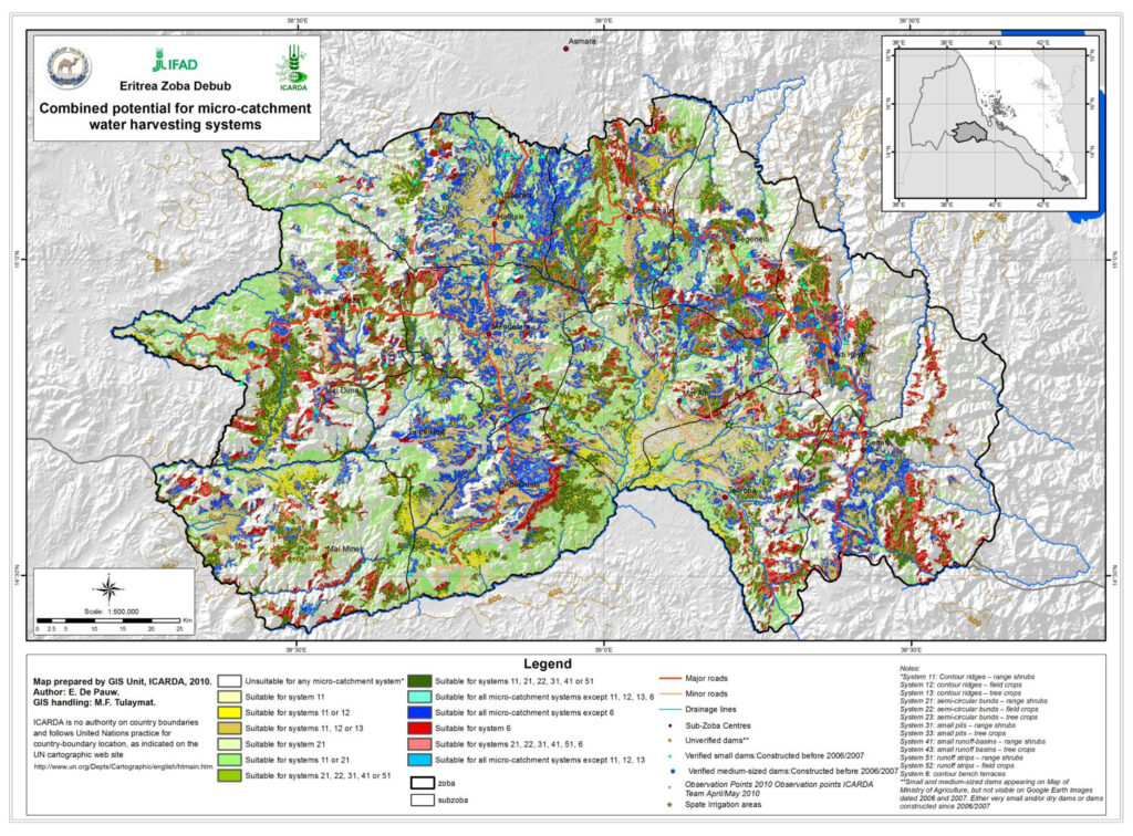
Land suitability assessment brings the different strands of analysis together to evaluate whether land is appropriate for specific uses. It combines biophysical criteria—such as soil type, climate, and topography—with economic considerations like production costs, market potential, and socio-economic benefits. The result is a practical tool that helps determine the most viable and sustainable use of land under given conditions. This integrated approach supports informed decision-making that balances productivity, environmental care, and long-term viability.